LUNGS is an activist research project investigating pollution as a cause of diseases of poverty, first by interrogating how pollution information is collected and analyzed, and then by creating low-cost, remote-deployable pollution sensor kits to enable more informed decision-making in relationship to local, real-time pollution and health.
Since outdoor air pollution is a major public health risk, the World Health Organization has pinpointed six major chemicals for which they track and collect daily averages worldwide in order to “capture representative values for human exposure”1 to reduce their disease burden. Unfortunately, guiding public policy from representative data2 means that they leave out known hot spots.3 Data is therefore not available for people living, traveling, and working in and around these areas.
The WHO recognizes “significant inequality in the exposure to air pollution and the related health risk: air pollution combines with other aspects of the social and physical environment, creating disproportional disease burden in populations with limited incomes and with minimal local resources to take action.”4 LUNGS kits will therefore directly monitor those ‘hotspots,’ so as to identify levels in real time in those locations.
As a collaborative research group founded on feminist models of collaboration, flattened hierarchies, co-learning and skill sharing, the LUNGS project is open-access. The code, instructions and collective database will be freely available to anyone in real-time, including concerned citizens, journalists, and law-makers, enabling them to create their own kit and to make changes to their daily activities or to local policy.
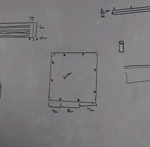
Part 1: (DESIGN)
designing the physical structure for water & wind protection
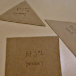
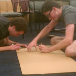
Part 2: (TEST)
first iteration of Kit case design building out of cardboard
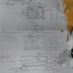
Part 2: (CIRCUITS)
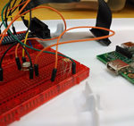
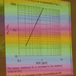
building the circuits & sensor testing
Part 3: (CODE)
code design & implementation
[This article was originally published at http://lateral.culturalstudiesassociation.org/issue3/ecologies/moesch. A PDF the original version has been archived at https://archive.org/details/Lateral3.]
Notes
- World Health Organization, “Ambient (Outdoor) Air Quality and Health.” http://www.who.int/mediacentre/factsheets/fs313/en/index.html ↩
- World Health Organization (2011), “Urban Outdoor Air Pollution Database: Description of Methods and Disclaimer.” http://www.who.int/phe/health_topics/outdoorair/databases/Methods_OAP_database_2011.pdf ↩
- In order to present air quality that is largely representative for human exposure, urban measurement characterized as urban background, urban traffic, residential areas, commercial and mixed areas were used. Stations characterized as particular “hot spots” or exclusively industrial areas were not included, unless they were contained in reported city means and could not be dissociated. This selection is in line with the aim of capturing representative values for human exposure. The location of hot spots, often measured for the purpose of capturing the cities’ maximum values, and industrial areas, were deemed less likely to be representative for the mean exposure of a significant part of a city’s population. “Hot spots” were either designated as such by the original reports, or were qualified as such due to their exceptional nature (e.g. exceptionally busy roads etc.). Omitting them may have lead to an underestimation of the mean air pollution levels of a city. ↩
- World Health Organization, “Public Health Policy for Outdoor Air Quality.” http://www.who.int/phe/health_topics/outdoorair/databases/public_health_policy/en/index1.html ↩


